 vesseltracker.com
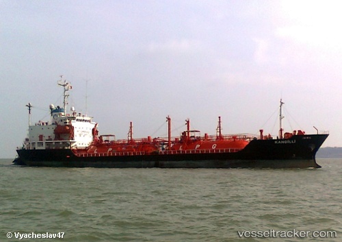
Vessel Veronikiiv IMO: 9015137, MMSI: 241349000 Lpg Tanker
UTC, 35.57504, 30.37159, course: 297, speed: 9.8
UTC, 35.75167, 29.90333, course: -1, speed: 10
2026-01-18 00:14:41 UTC, 35.75167, 29.90333, course: -1, speed: 10
Live AIS position:
UTC. 28 nm SE of Kastellorizou (ex Megísti)),
updated 2026-01-18 00:14:41 UTC.
Find the position of the vessel Veronikiiv on the map. The latter are known coordinates and path.
marine traffic ship tracker show on live map
The current position of vessel Veronikiiv is 35.75167 lat / 29.90333 lng. Updated: 2026-01-18 00:14:41 UTCCurrently sailing under the flag of Greece
Veronikiiv built in 1991 year
Deadweight:
4240 tDetails:
Last coordinates of the vessel:
UTC, 35.57504, 30.37159, course: 297, speed: 9.8UTC, 35.57504, 30.37159, course: 297, speed: 9.8
UTC, 35.75167, 29.90333, course: -1, speed: 10
2026-01-18 00:14:41 UTC, 35.75167, 29.90333, course: -1, speed: 10