 vesseltracker.com
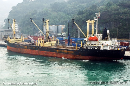
Vessel Hasan IMO: 9016179, MMSI: 667001416 General Cargo Ship
UTC, 41.25351, 29.23801, course: 72, speed: 10.9
UTC, 41.30286, 29.49988, course: 70, speed: 10.5
2026-01-16 17:19:21 UTC, 41.32536, 29.60432, course: 70, speed: 11.3
Live AIS position:
UTC. Near SILE),
updated 2026-01-16 17:19:21 UTC.
Find the position of the vessel Hasan on the map. The latter are known coordinates and path.
marine traffic ship tracker show on live map
The current position of vessel Hasan is 41.32536 lat / 29.60432 lng. Updated: 2026-01-16 17:19:21 UTCDetails:
Last coordinates of the vessel:
UTC, 41.13869, 29.06770, course: 326, speed: 11.4UTC, 41.25351, 29.23801, course: 72, speed: 10.9
UTC, 41.30286, 29.49988, course: 70, speed: 10.5
2026-01-16 17:19:21 UTC, 41.32536, 29.60432, course: 70, speed: 11.3