 vesseltracker.com
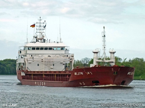
Vessel Wilson Sky IMO: 9017393, MMSI: 257077480 Multi Purpose Carrier
UTC, 40.13751, 26.38230, course: 210, speed: 12.9
UTC, 40.11953, 26.36578, course: 222, speed: 13
2026-01-19 02:33:18 UTC, 40.02093, 26.09229, course: 265, speed: 12.5
Live AIS position:
UTC. 11 nm N of Bozcaada),
updated 2026-01-19 02:33:18 UTC.
Find the position of the vessel Wilson Sky on the map. The latter are known coordinates and path.
marine traffic ship tracker show on live map
The current position of vessel Wilson Sky is 40.02093 lat / 26.09229 lng. Updated: 2026-01-19 02:33:18 UTCCurrently sailing under the flag of Norway
Wilson Sky built in 2001 year
Deadweight:
4263 tDetails:
Last coordinates of the vessel:
UTC, 40.34273, 26.63322, course: 214, speed: 12UTC, 40.13751, 26.38230, course: 210, speed: 12.9
UTC, 40.11953, 26.36578, course: 222, speed: 13
2026-01-19 02:33:18 UTC, 40.02093, 26.09229, course: 265, speed: 12.5