 vesseltracker.com
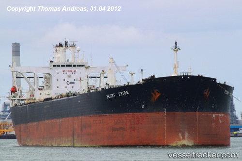
Find the position of the vessel Magus on the map. The latter are known coordinates and path.
marine traffic ship tracker show on live map
The current position of vessel Magus is 1.28664 lat / 104.01088 lng. Updated: 2025-11-06 09:52:39 UTCCurrently sailing under the flag of Panama
Magus built in 1993 year
Deadweight:
149686 tDetails:
Last coordinates of the vessel:
UTC, 1.28688, 104.01099, course: 270, speed: 0.3UTC, 1.28651, 104.01085, course: 256, speed: 0
UTC, 1.28654, 104.01095, course: 258, speed: 0
2025-11-06 09:52:39 UTC, 1.28664, 104.01088, course: 257, speed: 0