 vesseltracker.com
Find the position of the vessel ANATOLIY IVANOV on the map. The latter are known coordinates and path.
marine traffic ship tracker show on live map
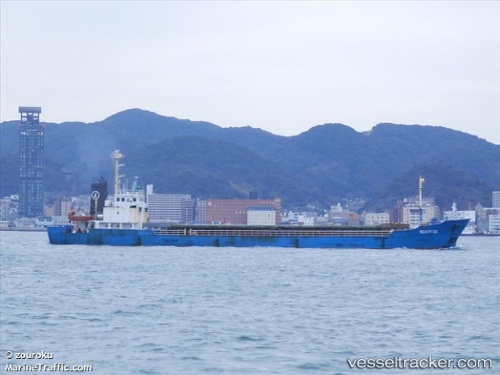
The current position of vessel ANATOLIY IVANOV is 43.39500 lat / 134.97667 lng. Updated: 2025-09-29 09:52:43 UTCCurrently sailing under the flag of Russia
ANATOLIY IVANOV built in 2000 year
Deadweight:
2600 tDetails:
Last coordinates of the vessel:
UTC, 43.49167, 135.15167, course: -1, speed: 8UTC, 43.43500, 135.04832, course: -1, speed: 8
UTC, 43.39500, 134.97667, course: -1, speed: 8
2025-09-29 09:52:43 UTC, 43.39500, 134.97667, course: -1, speed: 8
The ship also appears on the maps:
- Моя рабочая карта
- ЮК Пассажиры + Грузовики
- ЮК промысловая зона - 1
- ЮК промысловый район -2
- ЮК промысловая зона - 3
- ЮК промысловая зона - 4
- Моя карта 0924
- YK 11.2024
- YK 1124
- японо-охотские моря
- russkiy vostok
- Южные Курилы - 5
- Южные Курилы - 6
- Южные Курилы - 1
- Южные Курилы - 1
- Южные Курилы - 2
- Южные Курилы - 3
- Moya karta
- МОЯ 070925
- YK 070925