 vesseltracker.com
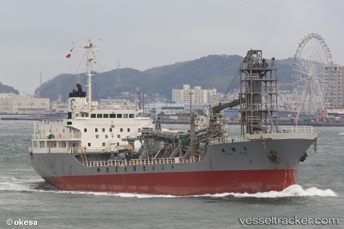
Vessel Mv.baik IMO: 9032214, MMSI: 525200821 Cement Carrier
UTC, -2.73202, 123.76607, course: 204, speed: 10.8
UTC, -2.73202, 123.76607, course: 204, speed: 10.8
2026-01-18 19:11:19 UTC, -3.17407, 123.61473, course: 203, speed: 10.4
Live AIS position:
UTC. 78 nm NE of KENDARI),
updated 2026-01-18 19:11:19 UTC.
Find the position of the vessel Mv.baik on the map. The latter are known coordinates and path.
marine traffic ship tracker show on live map
The current position of vessel Mv.baik is -3.17407 lat / 123.61473 lng. Updated: 2026-01-18 19:11:19 UTCDetails:
Last coordinates of the vessel:
UTC, -2.33250, 123.90329, course: 201, speed: 10.9UTC, -2.73202, 123.76607, course: 204, speed: 10.8
UTC, -2.73202, 123.76607, course: 204, speed: 10.8
2026-01-18 19:11:19 UTC, -3.17407, 123.61473, course: 203, speed: 10.4