 vesseltracker.com
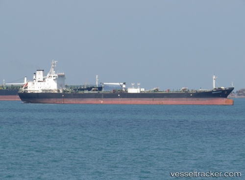
Vessel Maika IMO: 9033969, MMSI: 357359000 Crude Oil Tanker
UTC, 33.22646, -14.76678, course: 194, speed: 12.5
UTC, 32.99739, -14.82199, course: 195, speed: 12.2
2026-01-16 23:24:29 UTC, 32.86521, -14.85923, course: 197, speed: 12.4
Live AIS position:
UTC. 75 nm E of Porto Santo Island),
updated 2026-01-16 23:24:29 UTC.
Find the position of the vessel Maika on the map. The latter are known coordinates and path.
marine traffic ship tracker show on live map
The current position of vessel Maika is 32.86521 lat / -14.85923 lng. Updated: 2026-01-16 23:24:29 UTCDetails:
Last coordinates of the vessel:
UTC, 33.43030, -14.72482, course: 192, speed: 12.4UTC, 33.22646, -14.76678, course: 194, speed: 12.5
UTC, 32.99739, -14.82199, course: 195, speed: 12.2
2026-01-16 23:24:29 UTC, 32.86521, -14.85923, course: 197, speed: 12.4