 vesseltracker.com
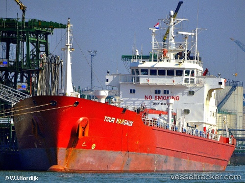
Vessel 'KAPIDAG' IMO: 9034731, MMSI: 271047132
UTC, 40.44679, 28.05713, course: 51, speed: 0.2
UTC, 40.44739, 28.05678, course: 68, speed: 0.1
2026-01-17 03:37:06 UTC, 40.44741, 28.05681, course: 68, speed: 0
Live AIS position:
UTC. 13 nm E of Erdek),
updated 2026-01-17 03:37:06 UTC.
Find the position of the vessel 'KAPIDAG' on the map. The latter are known coordinates and path.
marine traffic ship tracker show on live map
The current position of vessel 'KAPIDAG' is 40.44741 lat / 28.05681 lng. Updated: 2026-01-17 03:37:06 UTCDetails:
Last coordinates of the vessel:
UTC, 40.44679, 28.05714, course: 51, speed: 0.2UTC, 40.44679, 28.05713, course: 51, speed: 0.2
UTC, 40.44739, 28.05678, course: 68, speed: 0.1
2026-01-17 03:37:06 UTC, 40.44741, 28.05681, course: 68, speed: 0