 vesseltracker.com
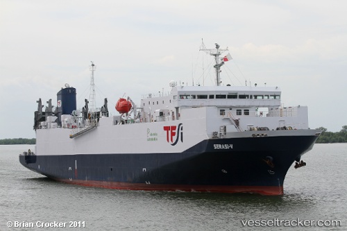
Find the position of the vessel Mv.serasi 5 on the map. The latter are known coordinates and path.
marine traffic ship tracker show on live map
The current position of vessel Mv.serasi 5 is -6.2145016666667 lat / 107.95213666667 lng. Updated: 2025-11-05 06:27:52 UTCCurrently sailing under the flag of Indonesia
Details:
Last coordinates of the vessel:
UTC, -6.2141816666667, 107.95224666667, course: -1, speed: 0UTC, -6.214375, 107.95215666667, course: -1, speed: 0.1
UTC, -6.2145083333333, 107.95219166667, course: -1, speed: 0
2025-11-05 06:27:52 UTC, -6.2145016666667, 107.95213666667, course: -1, speed: 0