 vesseltracker.com
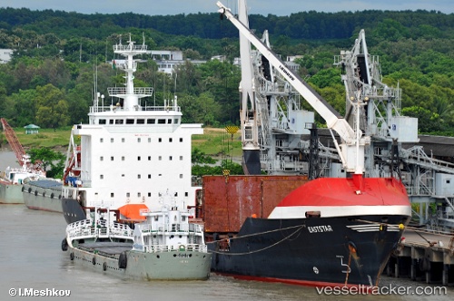
Vessel Ano Kato IMO: 9043146, MMSI: 370511000 General Cargo Ship
UTC, 25.38333, 56.61666, course: -1, speed: -0.1
UTC, 25.38333, 56.61666, course: -1, speed: -0.1
2026-01-18 09:45:44 UTC, 25.38333, 56.61666, course: -1, speed: -0.1
Live AIS position:
UTC. Near Offshore Fujairah),
updated 2026-01-18 09:45:44 UTC.
Find the position of the vessel Ano Kato on the map. The latter are known coordinates and path.
marine traffic ship tracker show on live map
The current position of vessel Ano Kato is 25.38333 lat / 56.61666 lng. Updated: 2026-01-18 09:45:44 UTCDetails:
Last coordinates of the vessel:
UTC, 25.47650, 56.71188, course: -1, speed: 5UTC, 25.38333, 56.61666, course: -1, speed: -0.1
UTC, 25.38333, 56.61666, course: -1, speed: -0.1
2026-01-18 09:45:44 UTC, 25.38333, 56.61666, course: -1, speed: -0.1