 vesseltracker.com
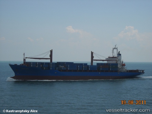
Find the position of the vessel Tanto Setia on the map. The latter are known coordinates and path.
marine traffic ship tracker show on live map
The current position of vessel Tanto Setia is 3.825855 lat / 98.733041666667 lng. Updated: 2025-11-06 08:56:13 UTCCurrently sailing under the flag of Indonesia
Tanto Setia built in 1994 year
Deadweight:
23884 tDetails:
Last coordinates of the vessel:
UTC, 3.927755, 98.748596666667, course: -1, speed: 0.1UTC, 3.9277066666667, 98.748578333333, course: -1, speed: 0
UTC, 3.9278933333333, 98.748695, course: -1, speed: 0.1
2025-11-06 08:56:13 UTC, 3.825855, 98.733041666667, course: -1, speed: 6.5