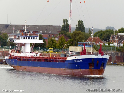
 vesseltracker.com
Find the position of the vessel Hav Tuna on the map. The latter are known coordinates and path.
marine traffic ship tracker show on live map
The current position of vessel Hav Tuna is 55.66875 lat / 10.16030 lng. Updated: 2025-10-21 22:32:23 UTCCurrently sailing under the flag of Antigua Barbuda
Hav Tuna built in 1993 year
Deadweight:
3036 tDetails:
Last coordinates of the vessel:
UTC, 55.86954, 10.86653, course: 218, speed: 8.6UTC, 55.73695, 10.52302, course: 250, speed: 9.5
UTC, 55.71946, 10.42984, course: 250, speed: 9.3
2025-10-21 22:32:23 UTC, 55.66875, 10.16030, course: 252, speed: 9