 vesseltracker.com
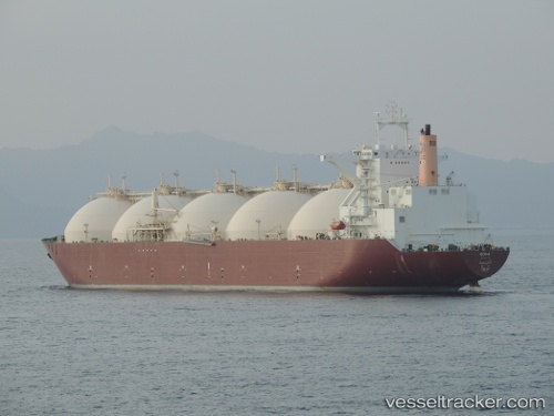
Vessel DOHA IMO: 9085637, MMSI: 538009745 LNG Tanker
UTC, 2.60948, 101.32796, course: 117, speed: 16.1
UTC, 2.51885, 101.47339, course: 126, speed: 15.9
2026-01-18 01:32:40 UTC, 2.26887, 101.78150, course: 133, speed: 14.6
Live AIS position:
UTC. 15 nm S of PORT DICKSON),
updated 2026-01-18 01:32:40 UTC.
Find the position of the vessel DOHA on the map. The latter are known coordinates and path.
marine traffic ship tracker show on live map
The current position of vessel DOHA is 2.26887 lat / 101.78150 lng. Updated: 2026-01-18 01:32:40 UTCCurrently sailing under the flag of Marshall Islands
DOHA built in 1999 year
Deadweight:
72337 tDetails:
Last coordinates of the vessel:
UTC, 2.77787, 101.02895, course: 121, speed: 16.3UTC, 2.60948, 101.32796, course: 117, speed: 16.1
UTC, 2.51885, 101.47339, course: 126, speed: 15.9
2026-01-18 01:32:40 UTC, 2.26887, 101.78150, course: 133, speed: 14.6