 vesseltracker.com
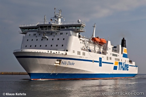
Vessel Robin Hood IMO: 9087477, MMSI: 218795000 Passenger Ro Ro Cargo Ship
UTC, 55.8798, 16.1567, course: 276, speed: 19.4
UTC, 56.0111, 15.2609, course: 291, speed: 16.7
2026-01-18 13:08:02 UTC, 56.1504, 14.8176, course: 347, speed: 5.6
Live AIS position:
UTC. Near Elleholm),
updated 2026-01-18 13:08:02 UTC.
Find the position of the vessel Robin Hood on the map. The latter are known coordinates and path.
marine traffic ship tracker show on live map
The current position of vessel Robin Hood is 56.1504 lat / 14.8176 lng. Updated: 2026-01-18 13:08:02 UTCCurrently sailing under the flag of Germany
Robin Hood built in 1995 year
Deadweight:
6538 tDetails:
Last coordinates of the vessel:
UTC, 55.8817, 16.5306, course: 272, speed: 19.3UTC, 55.8798, 16.1567, course: 276, speed: 19.4
UTC, 56.0111, 15.2609, course: 291, speed: 16.7
2026-01-18 13:08:02 UTC, 56.1504, 14.8176, course: 347, speed: 5.6