 vesseltracker.com
Find the position of the vessel Belema Sweet on the map. The latter are known coordinates and path.
marine traffic ship tracker show on live map
The current position of vessel Belema Sweet is 28.492856666667 lat / 50.528035 lng. Updated: 2025-10-16 18:23:37 UTCCurrently sailing under the flag of Marshall Is
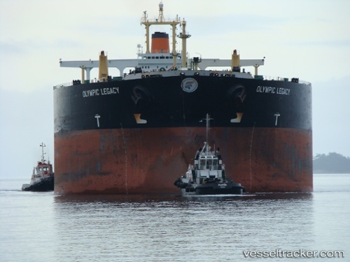
Belema Sweet built in 1996 year
Deadweight:
302789 tDetails:
Last coordinates of the vessel:
UTC, 28.492856666667, 50.528035, course: 346, speed: 10.9UTC, 28.492856666667, 50.528035, course: 346, speed: 10.9
UTC, 28.492856666667, 50.528035, course: 346, speed: 10.9
2025-10-16 18:23:37 UTC, 28.492856666667, 50.528035, course: 346, speed: 10.9