 vesseltracker.com
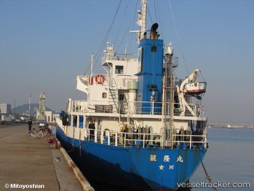
Vessel Kanryumaru IMO: 9094468, MMSI: 431501839 General Cargo Ship
Live AIS position:
UTC. 282 nm N of mouth of the Indigirka River),
updated 2025-11-26 06:45:55 UTC.
Find the position of the vessel Kanryumaru on the map. The latter are known coordinates and path.
marine traffic ship tracker show on live map
The current position of vessel Kanryumaru is 75.71739 lat / 158.00285 lng. Updated: 2025-11-26 06:45:55 UTCCurrently sailing under the flag of Japan
Details:
Last coordinates of the vessel:
2025-11-26 06:45:55 UTC, 75.71739, 158.00285, course: 26, speed: 15.5