 vesseltracker.com
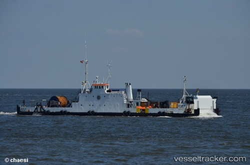
Find the position of the vessel Mira A on the map. The latter are known coordinates and path.
marine traffic ship tracker show on live map
The current position of vessel Mira A is 55.69070 lat / 12.62604 lng. Updated: 2025-11-05 17:11:06 UTCCurrently sailing under the flag of Denmark
Mira A built in 1969 year
Deadweight:
200 tDetails:
Last coordinates of the vessel:
UTC, 55.69072, 12.62608, course: 196, speed: 0UTC, 55.69072, 12.62608, course: 197, speed: 0
UTC, 55.69072, 12.62606, course: 197, speed: 0
2025-11-05 17:11:06 UTC, 55.69070, 12.62604, course: 196, speed: 0