 vesseltracker.com
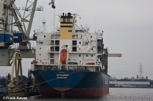
Find the position of the vessel HOYANGER on the map. The latter are known coordinates and path.
marine traffic ship tracker show on live map
The current position of vessel HOYANGER is 29.7149 lat / 122.806 lng. Updated: 2025-07-06 09:34:06 UTCCurrently sailing under the flag of Marshall Islands
HOYANGER built in 1995 year
Deadweight:
50198 tDetails:
Last coordinates of the vessel:
UTC, 29.7561, 122.303, course: 130, speed: 7.8UTC, 29.7281, 122.339, course: 133, speed: 12.2
UTC, 29.6718, 122.541, course: 92, speed: 11.5
2025-07-06 09:34:06 UTC, 29.7149, 122.806, course: 80, speed: 12.4