vessel AGLAIA IMO: 9102241, Crude Oil Tanker vesseltracker.com
Vessel AGLAIA IMO: 9102241, Crude Oil Tanker
MMSI: 334983000 callsign: HQZY4 size: 340x56

Find the position of the vessel AGLAIA on the map. The latter are known coordinates and path.

marine traffic ship tracker show on live map

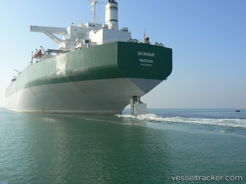
The current position of vessel AGLAIA is 25.36738 lat / 55.38289 lng. Updated: 2025-06-18 07:12:06 UTC

Currently sailing under the flag of Honduras

AGLAIA built in 1996 year

Deadweight:
300361 t

Details:


Last coordinates of the vessel:
2025-06-18 07:12:06 UTC, 25.36738, 55.38289, course: 224, speed: 0

The ship also appears on the maps:


Most frequent ports a vessels calls at AGLAIA (334983000):

Sambu, traffic: 13
Singapore, traffic: 12
AJMAN, traffic: 3
Sharjah, traffic: 3
PULAU SAMBU, traffic: 2
TANAH MERAH, traffic: 2
BUKOM ISLAND, traffic: 2
BATU AMPAR, traffic: 1
Galle, traffic: 1
PENGERANG, traffic: 1
JURONG ISLAND, traffic: 1

Link to the map:


Find another ship

AGLAIA (334983000) last ports (portcalls and passsages)

AJMAN | 2025-06-18 08:18:43
Sharjah | 2025-06-18 05:00:29
AJMAN | 2025-06-14 07:22:32
Sharjah | 2025-06-14 04:56:34
AJMAN | 2025-06-10 06:50:57
Sharjah | 2025-06-10 04:06:46
BATU AMPAR | 2025-02-08 16:57:18
JURONG ISLAND | 2025-02-08 04:35:55
BUKOM ISLAND | 2025-02-08 03:02:33
Sambu | 2025-02-08 02:22:46
TANAH MERAH | 2025-02-08 01:02:32
PENGERANG | 2025-02-07 23:01:32
TANAH MERAH | 2024-11-20 08:02:18
PULAU SAMBU | 2024-11-20 06:58:58
BUKOM ISLAND | 2024-11-20 06:22:48
Galle | 2024-10-09 21:01:08
Singapore | 2024-10-03 17:22:24
Sambu | 2024-09-24 07:22:33
Singapore | 2024-08-06 23:24:11
Singapore | 2024-07-15 00:15:48
Singapore | 2024-06-04 18:38:57
Sambu | 2024-05-13 20:06:05
Singapore | 2024-03-04 23:17:35
Singapore | 2024-01-22 02:29:10
Sambu | 2024-01-22 01:30:00
Sambu | 2023-09-18 22:16:12
Singapore | 2023-07-12 00:34:02
Singapore | 2023-04-21 00:15:36