 vesseltracker.com
Find the position of the vessel AGLAIA on the map. The latter are known coordinates and path.
marine traffic ship tracker show on live map
The current position of vessel AGLAIA is 5.85187 lat / 80.3369 lng. Updated: 2025-04-01 04:24:31 UTCCurrently sailing under the flag of Honduras
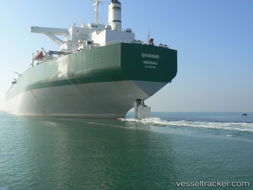
AGLAIA built in 1996 year
Deadweight:
300361 tPayload_mass:
300361 tonneGross tonnage:
163882Service entry:
1996-01-01T00:00:00ZManufacturer:
Mitsubishi Heavy Industries Kobe Shipyard & Machinery Works (shipbuilding subsidiary of Mitsubishi Heavy Industries)Details:
Last coordinates of the vessel:
UTC, 5.82591, 80.6786, course: 269, speed: 8.7UTC, 5.82988, 80.5701, course: 272, speed: 8.7
UTC, 5.85056, 80.3424, course: 281, speed: 6.7
2025-04-01 04:24:31 UTC, 5.85187, 80.3369, course: 283, speed: 6.7
The ship also appears on the maps: