 vesseltracker.com
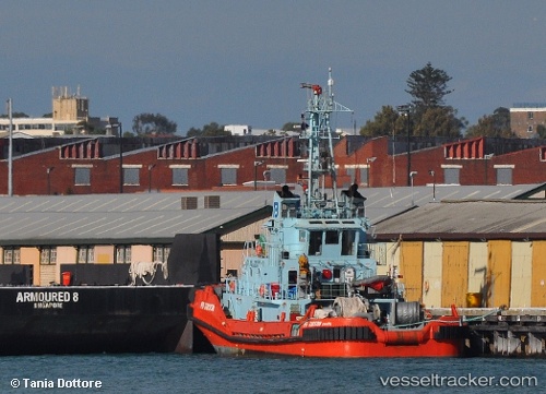
Find the position of the vessel WAIOWA on the map. The latter are known coordinates and path.
marine traffic ship tracker show on live map
The current position of vessel WAIOWA is -6.7395116666667 lat / 146.98176666667 lng. Updated: 2025-11-04 01:50:32 UTCCurrently sailing under the flag of Papua New Guinea
WAIOWA built in 1994 year
Deadweight:
257 tDetails:
Last coordinates of the vessel:
UTC, -6.7383333333333, 146.98166666667, course: -1, speed: 0UTC, -6.7383333333333, 146.98166666667, course: -1, speed: 0
UTC, -6.7383333333333, 146.98166666667, course: -1, speed: 0
2025-11-04 01:50:32 UTC, -6.7395116666667, 146.98176666667, course: 307, speed: 0