 vesseltracker.com
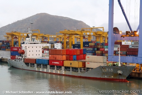
Vessel Glory Star IMO: 9105657, MMSI: 511543000 Container Ship
Live AIS position:
UTC. Near Incheon),
updated 2025-08-21 03:07:47 UTC.
Find the position of the vessel Glory Star on the map. The latter are known coordinates and path.
marine traffic ship tracker show on live map
The current position of vessel Glory Star is 37.45647 lat / 126.60597 lng. Updated: 2025-08-21 03:07:47 UTCCurrently sailing under the flag of Palau
Glory Star built in 1994 year
Deadweight:
5981 tDetails:
Last coordinates of the vessel:
2025-08-21 03:07:47 UTC, 37.45647, 126.60597, course: -1, speed: 0.2