 vesseltracker.com
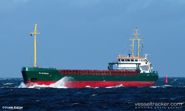
Vessel Klaipeda IMO: 9106584, MMSI: 277391000 General Cargo Ship
UTC, 53.72107, -5.37409, course: 45, speed: 8.3
UTC, 53.87300, -5.27868, course: 11, speed: 8.6
2026-01-16 09:32:24 UTC, 54.07078, -5.22127, course: 10, speed: 8.4
Live AIS position:
UTC. 17 nm W of Port Saint Mary),
updated 2026-01-16 09:32:24 UTC.
Find the position of the vessel Klaipeda on the map. The latter are known coordinates and path.
marine traffic ship tracker show on live map
The current position of vessel Klaipeda is 54.07078 lat / -5.22127 lng. Updated: 2026-01-16 09:32:24 UTCCurrently sailing under the flag of Lithuania
Klaipeda built in 1995 year
Deadweight:
4068 tDetails:
Last coordinates of the vessel:
UTC, 53.55236, -5.42472, course: 8, speed: 9.1UTC, 53.72107, -5.37409, course: 45, speed: 8.3
UTC, 53.87300, -5.27868, course: 11, speed: 8.6
2026-01-16 09:32:24 UTC, 54.07078, -5.22127, course: 10, speed: 8.4