 vesseltracker.com
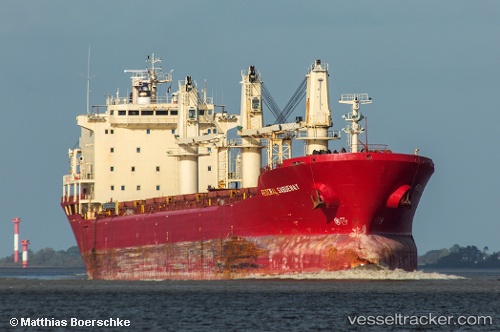
Find the position of the vessel Abraham M on the map. The latter are known coordinates and path.
marine traffic ship tracker show on live map
The current position of vessel Abraham M is 22.491933822631836 lat / 91.70343017578125 lng. Updated: 2025-07-01 10:50:16 UTCCurrently sailing under the flag of Cook Islands
Details:
Last coordinates of the vessel:
2025-07-01 10:50:16 UTC, 22.491933822631836, 91.70343017578125, course: -1, speed: 0