 vesseltracker.com
Find the position of the vessel BOMUSTAFA O on the map. The latter are known coordinates and path.
marine traffic ship tracker show on live map
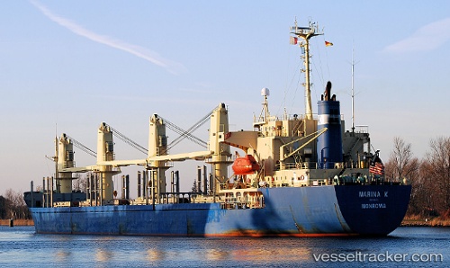
The current position of vessel BOMUSTAFA O is 22.79208 lat / 70.09315 lng. Updated: 2025-11-09 16:47:14 UTCCurrently sailing under the flag of Panama
BOMUSTAFA O built in 1995 year
Deadweight:
24173 tDetails:
Last coordinates of the vessel:
UTC, 22.79243, 70.09242, course: 48, speed: 0UTC, 22.79247, 70.09242, course: 47, speed: 0
UTC, 22.79234, 70.09256, course: 45, speed: 0
2025-11-09 16:47:14 UTC, 22.79208, 70.09315, course: 30, speed: 0.1
The ship also appears on the maps: