 vesseltracker.com
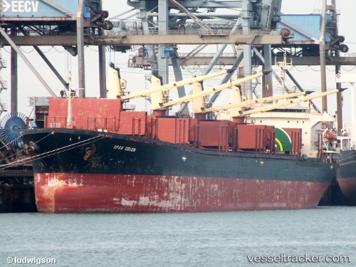
Vessel Explorer IMO: 9114622, MMSI: 374609000 Bulk Carrier
UTC, 14.22245, 171.76263, course: 237, speed: 8.7
UTC, 14.07194, 171.54582, course: 218, speed: 8.4
2026-01-17 06:03:02 UTC, 13.89768, 171.37770, course: 221, speed: 8.2
Live AIS position:
UTC. 238 nm N of Ailuk Island),
updated 2026-01-17 06:03:02 UTC.
Find the position of the vessel Explorer on the map. The latter are known coordinates and path.
marine traffic ship tracker show on live map
The current position of vessel Explorer is 13.89768 lat / 171.37770 lng. Updated: 2026-01-17 06:03:02 UTCDetails:
Last coordinates of the vessel:
UTC, 14.23146, 171.77718, course: 235, speed: 9UTC, 14.22245, 171.76263, course: 237, speed: 8.7
UTC, 14.07194, 171.54582, course: 218, speed: 8.4
2026-01-17 06:03:02 UTC, 13.89768, 171.37770, course: 221, speed: 8.2