 vesseltracker.com
Find the position of the vessel Kaili on the map. The latter are known coordinates and path.
marine traffic ship tracker show on live map
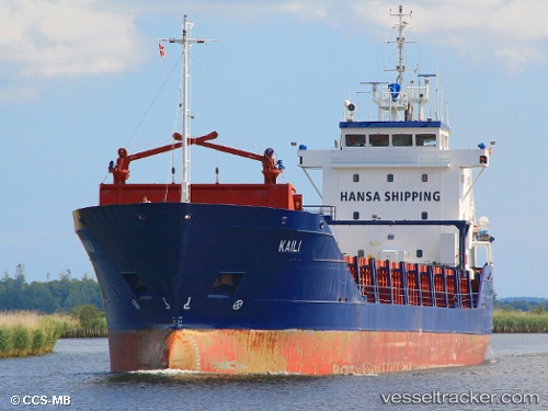
The current position of vessel Kaili is 53.5327 lat / 9.98825 lng. Updated: 2024-08-14 07:00:07 UTCCurrently sailing under the flag of Malta
Kaili built in 1996 year
Deadweight:
4512 tDetails:
Last coordinates of the vessel:
2024-08-14 07:00:07 UTC, 53.5327, 9.98825, course: 183, speed: 0The ship also appears on the maps: