 vesseltracker.com
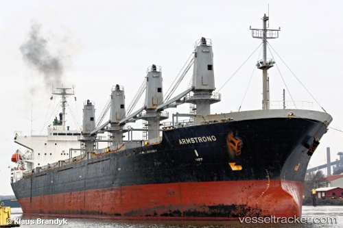
Vessel Lamar IMO: 9116321, MMSI: 371974000 Bulk Carrier
UTC, 22.54198, 67.45056, course: 22, speed: 0.3
UTC, 22.55119, 67.42054, course: 304, speed: 7.3
2026-01-17 09:44:59 UTC, 22.66037, 67.30589, course: 235, speed: 1.8
Live AIS position:
UTC. 89 nm S of Keti Bandar),
updated 2026-01-17 09:44:59 UTC.
Find the position of the vessel Lamar on the map. The latter are known coordinates and path.
marine traffic ship tracker show on live map
The current position of vessel Lamar is 22.66037 lat / 67.30589 lng. Updated: 2026-01-17 09:44:59 UTCDetails:
Last coordinates of the vessel:
UTC, 22.54833, 67.43667, course: -1, speed: 0UTC, 22.54198, 67.45056, course: 22, speed: 0.3
UTC, 22.55119, 67.42054, course: 304, speed: 7.3
2026-01-17 09:44:59 UTC, 22.66037, 67.30589, course: 235, speed: 1.8