 vesseltracker.com
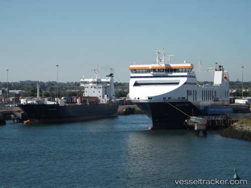
Vessel Clipper Ranger IMO: 9119402, MMSI: 316041062 Ro Ro Cargo Ship
UTC, 47.74543, -63.79715, course: 115, speed: 15
UTC, 47.59841, -63.27939, course: 112, speed: 14.8
2026-01-17 15:21:51 UTC, 47.57272, -63.18579, course: 112, speed: 14.7
Live AIS position:
UTC. 51 nm NE of Tignish),
updated 2026-01-17 15:21:51 UTC.
Find the position of the vessel Clipper Ranger on the map. The latter are known coordinates and path.
marine traffic ship tracker show on live map
The current position of vessel Clipper Ranger is 47.57272 lat / -63.18579 lng. Updated: 2026-01-17 15:21:51 UTCCurrently sailing under the flag of Canada
Clipper Ranger built in 1998 year
Deadweight:
5758 tDetails:
Last coordinates of the vessel:
UTC, 47.82228, -63.99466, course: 130, speed: 14.9UTC, 47.74543, -63.79715, course: 115, speed: 15
UTC, 47.59841, -63.27939, course: 112, speed: 14.8
2026-01-17 15:21:51 UTC, 47.57272, -63.18579, course: 112, speed: 14.7