 vesseltracker.com
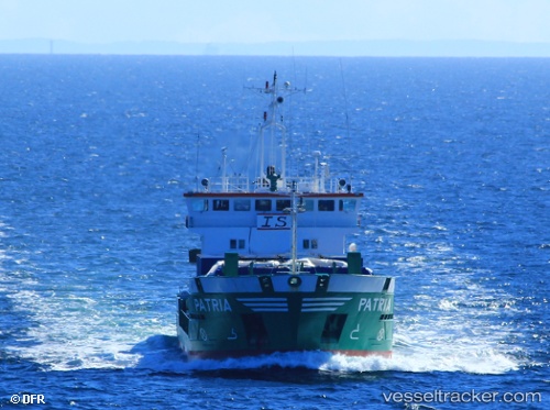
Find the position of the vessel Patria on the map. The latter are known coordinates and path.
marine traffic ship tracker show on live map
The current position of vessel Patria is 42.32002 lat / -9.80615 lng. Updated: 2025-11-06 23:28:16 UTCCurrently sailing under the flag of Cyprus
Patria built in 1995 year
Deadweight:
3519 tDetails:
Last coordinates of the vessel:
UTC, 41.99871, -9.80924, course: 357, speed: 6.9UTC, 42.11516, -9.80801, course: 355, speed: 6.8
UTC, 42.26221, -9.80594, course: 355, speed: 6.8
2025-11-06 23:28:16 UTC, 42.32002, -9.80615, course: 1, speed: 6.7