 vesseltracker.com
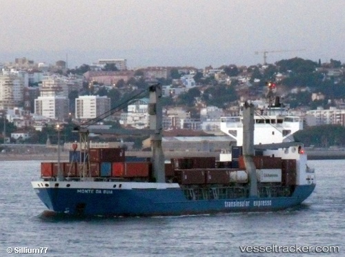
Find the position of the vessel Monte Da Guia on the map. The latter are known coordinates and path.
marine traffic ship tracker show on live map
The current position of vessel Monte Da Guia is 40.8351 lat / 28.1301 lng. Updated: 2025-07-18 23:11:59 UTCCurrently sailing under the flag of Portugal
Monte Da Guia built in 1995 year
Deadweight:
8846 tDetails:
Last coordinates of the vessel:
UTC, 40.9486, 28.8921, course: 64, speed: 0UTC, 40.9486, 28.8922, course: 60, speed: 0
UTC, 40.9485, 28.8922, course: 56, speed: 0.1
2025-07-18 23:11:59 UTC, 40.8351, 28.1301, course: 259, speed: 15.7