 vesseltracker.com
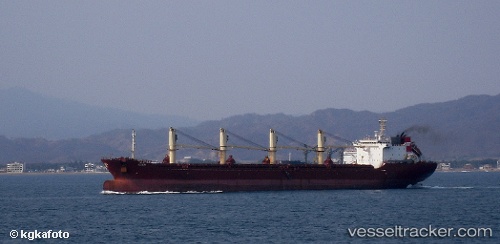
Vessel Kerem IMO: 9126429, MMSI: 215143000 Bulk Carrier
UTC, 12.3281, 72.4053, course: 309, speed: 11.6
UTC, 12.5008, 72.2196, course: 320, speed: 11.7
2026-01-16 19:24:50 UTC, 12.5008, 72.2196, course: 320, speed: 11.7
Live AIS position:
UTC. 88 nm N of Amini Island),
updated 2026-01-16 19:24:50 UTC.
Find the position of the vessel Kerem on the map. The latter are known coordinates and path.
marine traffic ship tracker show on live map
The current position of vessel Kerem is 12.5008 lat / 72.2196 lng. Updated: 2026-01-16 19:24:50 UTCDetails:
Last coordinates of the vessel:
UTC, 11.9574, 72.8101, course: 308, speed: 11.6UTC, 12.3281, 72.4053, course: 309, speed: 11.6
UTC, 12.5008, 72.2196, course: 320, speed: 11.7
2026-01-16 19:24:50 UTC, 12.5008, 72.2196, course: 320, speed: 11.7