 vesseltracker.com
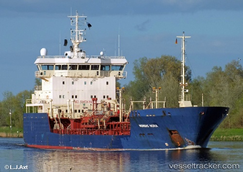
Vessel LAGAVULIN IMO: 9130810, MMSI: 352001474 Oil Products Tanker
UTC, 6.18735, 3.07563, course: 64, speed: 4.3
UTC, 6.18813, 3.07702, course: 64, speed: 4.3
2026-01-17 16:31:09 UTC, 6.25963, 3.19833, course: 64, speed: 4.5
Live AIS position:
UTC. 12 nm SW of Kirikiri),
updated 2026-01-17 16:31:09 UTC.
Find the position of the vessel LAGAVULIN on the map. The latter are known coordinates and path.
marine traffic ship tracker show on live map
The current position of vessel LAGAVULIN is 6.25963 lat / 3.19833 lng. Updated: 2026-01-17 16:31:09 UTCCurrently sailing under the flag of Panama
LAGAVULIN built in 1997 year
Deadweight:
5810 tDetails:
Last coordinates of the vessel:
UTC, 6.12692, 2.97855, course: 64, speed: 4.1UTC, 6.18735, 3.07563, course: 64, speed: 4.3
UTC, 6.18813, 3.07702, course: 64, speed: 4.3
2026-01-17 16:31:09 UTC, 6.25963, 3.19833, course: 64, speed: 4.5