 vesseltracker.com
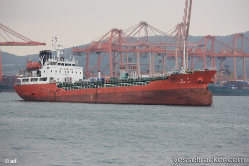
Vessel '567002910' IMO: 9131682, MMSI: 567002910
UTC, 4.91465, 111.85157, course: 63, speed: 8.2
UTC, 4.95178, 111.92718, course: 65, speed: 8.3
2026-01-14 19:55:50 UTC, 4.95178, 111.92718, course: 65, speed: 8.3
Live AIS position:
UTC. 117 nm NW of Samalaju),
updated 2026-01-14 19:55:50 UTC.
Find the position of the vessel '567002910' on the map. The latter are known coordinates and path.
marine traffic ship tracker show on live map
The current position of vessel '567002910' is 4.95178 lat / 111.92718 lng. Updated: 2026-01-14 19:55:50 UTCDetails:
Last coordinates of the vessel:
UTC, 4.48007, 110.97250, course: 60, speed: 7.2UTC, 4.91465, 111.85157, course: 63, speed: 8.2
UTC, 4.95178, 111.92718, course: 65, speed: 8.3
2026-01-14 19:55:50 UTC, 4.95178, 111.92718, course: 65, speed: 8.3