 vesseltracker.com
Find the position of the vessel MULAND on the map. The latter are known coordinates and path.
marine traffic ship tracker show on live map
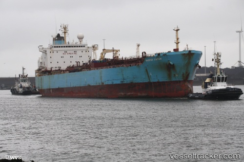
The current position of vessel MULAND is 12.82185 lat / 112.85252 lng. Updated: 2025-11-07 10:39:36 UTCCurrently sailing under the flag of Panama
MULAND built in 1997 year
Deadweight:
44936 tDetails:
Last coordinates of the vessel:
UTC, 13.17540, 113.22441, course: 236, speed: 11.6UTC, 13.07653, 113.12423, course: 237, speed: 11.2
UTC, 12.85698, 112.89104, course: 237, speed: 10.5
2025-11-07 10:39:36 UTC, 12.82185, 112.85252, course: 237, speed: 10.6