 vesseltracker.com
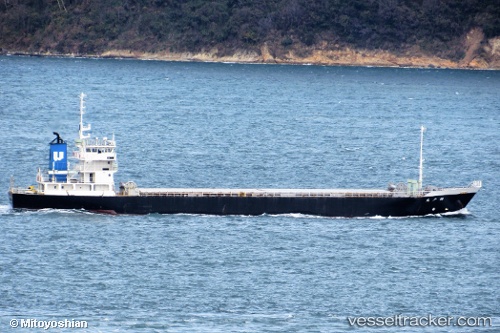
Vessel HTS 23 IMO: 9135200, MMSI: 525001234 General Cargo Ship
UTC, -7.73037, 137.98148, course: -1, speed: 0.2
UTC, -7.73023, 137.98172, course: -1, speed: 0.2
2026-01-17 11:04:50 UTC, -7.73023, 137.98172, course: -1, speed: 0.2
Live AIS position:
UTC. 67 nm W of Wanam),
updated 2026-01-17 11:04:50 UTC.
Find the position of the vessel HTS 23 on the map. The latter are known coordinates and path.
marine traffic ship tracker show on live map
The current position of vessel HTS 23 is -7.73023 lat / 137.98172 lng. Updated: 2026-01-17 11:04:50 UTCCurrently sailing under the flag of Indonesia
HTS 23 built in 1996 year
Deadweight:
2100 tDetails:
Last coordinates of the vessel:
UTC, -7.73037, 137.98148, course: -1, speed: 0.2UTC, -7.73037, 137.98148, course: -1, speed: 0.2
UTC, -7.73023, 137.98172, course: -1, speed: 0.2
2026-01-17 11:04:50 UTC, -7.73023, 137.98172, course: -1, speed: 0.2