vessel CARUZO IMO: 9137648, Crude Oil Tanker vesseltracker.com
Vessel CARUZO IMO: 9137648, Crude Oil Tanker
MMSI: 518999178 callsign: E5U5159 size: 274x48

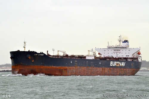
Find the position of the vessel CARUZO on the map. The latter are known coordinates and path.

marine traffic ship tracker show on live map

The current position of vessel CARUZO is 29.7185 lat / 32.6293 lng. Updated: 2025-01-21 11:43:10 UTC

Currently sailing under the flag of Cook Is

CARUZO built in 1998 year

Deadweight:
146645 t

Payload_mass:
146645 tonne
Gross tonnage:
81148
Service entry:
1997-01-01T00:00:00Z

Manufacturer:
Samsung Heavy Industries (South Korean shipbuilding company)
Details:


Last coordinates of the vessel:
2025-01-21 11:43:10 UTC, 29.7185, 32.6293, course: 309, speed: 0


Most frequent ports a vessels calls at CARUZO (518999178):

SUEZ CANAL, traffic: 2
Port Said, traffic: 2
SUEZ PORT, traffic: 2
Sambu, traffic: 2
Singapore, traffic: 2
ISMAILIA, traffic: 2
Strait Of Gibraltar, traffic: 2
Korsor, traffic: 1
TANGER MED, traffic: 1
Malacca, traffic: 1
PULAU SAMBU, traffic: 1
Primorsk, traffic: 1
SUNGAI UDANG, traffic: 1
Qingdao, traffic: 1
SPODSBJERG, traffic: 1

Link to the map:


Find another ship

CARUZO (518999178) last ports (portcalls and passsages)

AL ADABIYAH | 2025-01-20 17:09:06
SUEZ CANAL | 2025-01-20 12:35:31
ISMAILIA | 2025-01-20 11:13:37
Port Said | 2025-01-20 06:28:27
TANGER MED | 2025-01-12 09:27:59
Strait Of Gibraltar | 2025-01-12 06:53:14
Primorsk | 2024-12-28 08:32:24
SPODSBJERG | 2024-12-19 15:01:26
Korsor | 2024-12-19 12:39:34
TARIFA | 2024-12-12 20:50:54
ISMAILIA | 2024-12-05 12:38:09
SUEZ CANAL | 2024-12-05 11:00:28
SUEZ PORT | 2024-12-05 08:27:12
Ras Gharib | 2024-12-03 18:30:19
TANAH MERAH | 2024-11-16 16:55:07
PENGERANG | 2024-11-16 15:25:23
PULAU SAMBU | 2024-11-09 01:09:47
SUNGAI UDANG | 2024-11-08 10:38:07
Malacca | 2024-11-07 15:03:14
Ra’S Shukhayr | 2024-10-20 12:23:23
Port Said | 2024-10-19 05:39:43
Qingdao | 2023-03-15 05:27:00
Singapore | 2023-02-22 23:10:47