 vesseltracker.com
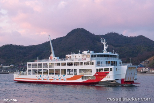
Find the position of the vessel Orange Gureisu on the map. The latter are known coordinates and path.
marine traffic ship tracker show on live map
The current position of vessel Orange Gureisu is 33.97916 lat / 132.31825 lng. Updated: 2025-10-31 01:37:44 UTCDetails:
Last coordinates of the vessel:
UTC, 33.98397, 132.27872, course: 265, speed: 12.8UTC, 33.95500, 132.13167, course: -1, speed: 0
UTC, 33.95628, 132.13269, course: 191, speed: 0
2025-10-31 01:37:44 UTC, 33.97916, 132.31825, course: 92, speed: 12.5