 vesseltracker.com
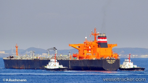
Find the position of the vessel 667001295 on the map. The latter are known coordinates and path.
marine traffic ship tracker show on live map
The current position of vessel 667001295 is 6.54745 lat / -58.23620 lng. Updated: 2025-11-02 11:23:11 UTCDetails:
Last coordinates of the vessel:
UTC, 6.54745, -58.23620, course: 63, speed: 0UTC, 6.54745, -58.23620, course: 63, speed: 0
UTC, 6.54745, -58.23620, course: 63, speed: 0
2025-11-02 11:23:11 UTC, 6.54745, -58.23620, course: 63, speed: 0