 vesseltracker.com
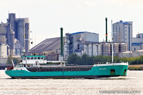
Vessel Waterway IMO: 9143594, MMSI: 376532000 General Cargo Ship
UTC, 52.75901, 0.38951, course: 344, speed: 3.8
UTC, 53.03614, 0.47090, course: 38, speed: 9.2
2026-01-17 09:28:18 UTC, 53.05665, 1.02592, course: 112, speed: 6.7
Live AIS position:
UTC. Near Morston),
updated 2026-01-17 09:28:18 UTC.
Find the position of the vessel Waterway on the map. The latter are known coordinates and path.
marine traffic ship tracker show on live map
The current position of vessel Waterway is 53.05665 lat / 1.02592 lng. Updated: 2026-01-17 09:28:18 UTCCurrently sailing under the flag of St Vincent Grenadines
Waterway built in 1996 year
Deadweight:
1454 tDetails:
Last coordinates of the vessel:
UTC, 52.76156, 0.39478, course: 205, speed: 0UTC, 52.75901, 0.38951, course: 344, speed: 3.8
UTC, 53.03614, 0.47090, course: 38, speed: 9.2
2026-01-17 09:28:18 UTC, 53.05665, 1.02592, course: 112, speed: 6.7