 vesseltracker.com
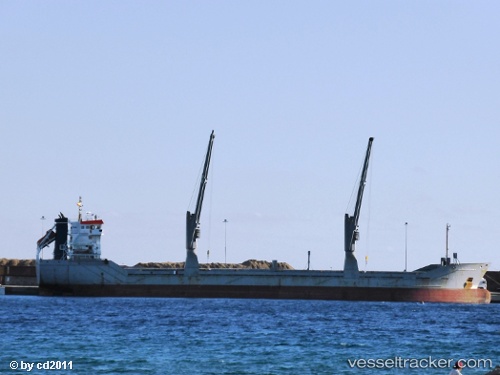
Vessel 'AASTIND' IMO: 9147136, MMSI: 236729000
UTC, 50.26429, -2.62322, course: 261, speed: 9.2
UTC, 50.21134, -3.10666, course: 261, speed: 11
2026-01-18 23:20:53 UTC, 50.17633, -3.39371, course: 260, speed: 11.9
Live AIS position:
UTC. 11 nm SE of River Dart),
updated 2026-01-18 23:20:53 UTC.
Find the position of the vessel 'AASTIND' on the map. The latter are known coordinates and path.
marine traffic ship tracker show on live map
The current position of vessel 'AASTIND' is 50.17633 lat / -3.39371 lng. Updated: 2026-01-18 23:20:53 UTCDetails:
Last coordinates of the vessel:
UTC, 50.26799, -2.58849, course: 261, speed: 9.1UTC, 50.26429, -2.62322, course: 261, speed: 9.2
UTC, 50.21134, -3.10666, course: 261, speed: 11
2026-01-18 23:20:53 UTC, 50.17633, -3.39371, course: 260, speed: 11.9