 vesseltracker.com
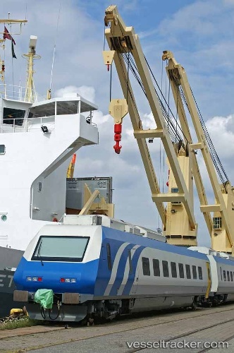
Vessel Grietje IMO: 9147708, MMSI: 304081008 Heavy Load Carrier
UTC, 59.33828, 5.30707, course: 3, speed: 0.1
UTC, 59.33828, 5.30707, course: 3, speed: 0.1
2026-01-18 12:21:20 UTC, 59.33828, 5.30707, course: 3, speed: 0.1
Live AIS position:
UTC. Near HUSOYA),
updated 2026-01-18 12:21:20 UTC.
Find the position of the vessel Grietje on the map. The latter are known coordinates and path.
marine traffic ship tracker show on live map
The current position of vessel Grietje is 59.33828 lat / 5.30707 lng. Updated: 2026-01-18 12:21:20 UTCDetails:
Last coordinates of the vessel:
UTC, 59.33828, 5.30707, course: 3, speed: 0.1UTC, 59.33828, 5.30707, course: 3, speed: 0.1
UTC, 59.33828, 5.30707, course: 3, speed: 0.1
2026-01-18 12:21:20 UTC, 59.33828, 5.30707, course: 3, speed: 0.1