 vesseltracker.com
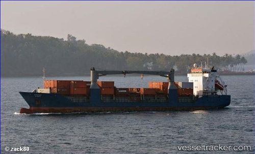
Vessel Tci Surya IMO: 9148245, MMSI: 419659000 Multi Purpose Carrier
UTC, 13.56333, 93.24333, course: -1, speed: 10
UTC, 13.87736, 92.79250, course: -1, speed: 11.1
2026-01-17 09:52:35 UTC, 13.94667, 92.55833, course: -1, speed: 11
Live AIS position:
UTC. 137 nm N of Port Blair),
updated 2026-01-17 09:52:35 UTC.
Find the position of the vessel Tci Surya on the map. The latter are known coordinates and path.
marine traffic ship tracker show on live map
The current position of vessel Tci Surya is 13.94667 lat / 92.55833 lng. Updated: 2026-01-17 09:52:35 UTCDetails:
Last coordinates of the vessel:
UTC, 13.38333, 93.23333, course: -1, speed: 10UTC, 13.56333, 93.24333, course: -1, speed: 10
UTC, 13.87736, 92.79250, course: -1, speed: 11.1
2026-01-17 09:52:35 UTC, 13.94667, 92.55833, course: -1, speed: 11