 vesseltracker.com
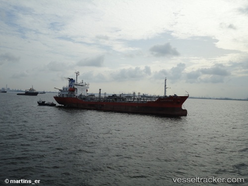
Find the position of the vessel Mt Erawan 1 on the map. The latter are known coordinates and path.
marine traffic ship tracker show on live map
The current position of vessel Mt Erawan 1 is 1.15891 lat / 103.93048833333 lng. Updated: 2025-10-31 17:25:14 UTCCurrently sailing under the flag of Indonesia
Mt Erawan 1 built in 1997 year
Deadweight:
5980 tDetails:
Last coordinates of the vessel:
UTC, 1.1586, 103.93199833333, course: 265, speed: 0.1UTC, 1.1586933333333, 103.93179833333, course: 261, speed: 0.2
UTC, 1.159025, 103.93057333333, course: 127, speed: 0
2025-10-31 17:25:14 UTC, 1.15891, 103.93048833333, course: 118, speed: 0