 vesseltracker.com
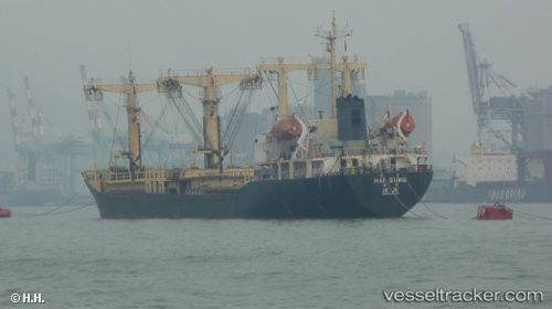
Find the position of the vessel Sally M on the map. The latter are known coordinates and path.
marine traffic ship tracker show on live map
The current position of vessel Sally M is 34.4931 lat / 35.8037 lng. Updated: 2025-04-29 08:29:34 UTCPayload_mass:
7435 tonneGross tonnage:
4569Service entry:
1997-01-01T00:00:00ZDetails:
Last coordinates of the vessel:
UTC, 34.4933, 35.8038, course: -1, speed: 0UTC, 34.4931, 35.8037, course: -1, speed: 0
UTC, 34.4931, 35.8037, course: -1, speed: 0
2025-04-29 08:29:34 UTC, 34.4931, 35.8037, course: -1, speed: 0
The ship also appears on the maps: