 vesseltracker.com
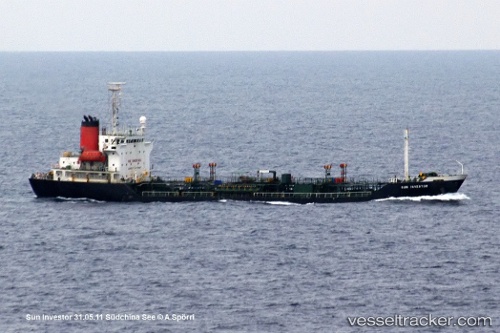
Vessel Sunny Power IMO: 9154036, MMSI: 667001682 Chemical Oil Products Tanker
UTC, 30.59215, 124.82916, course: 213, speed: 10.5
UTC, 30.50325, 124.77291, course: 214, speed: 10.6
2026-01-16 17:00:17 UTC, 30.27542, 124.63933, course: 217, speed: 11.2
Live AIS position:
UTC. 110 nm E of Lü-hua Shan),
updated 2026-01-16 17:00:17 UTC.
Find the position of the vessel Sunny Power on the map. The latter are known coordinates and path.
marine traffic ship tracker show on live map
The current position of vessel Sunny Power is 30.27542 lat / 124.63933 lng. Updated: 2026-01-16 17:00:17 UTCCurrently sailing under the flag of Sierra Leone
Sunny Power built in 1997 year
Deadweight:
4999 tDetails:
Last coordinates of the vessel:
UTC, 30.81648, 124.99530, course: 189, speed: 10.2UTC, 30.59215, 124.82916, course: 213, speed: 10.5
UTC, 30.50325, 124.77291, course: 214, speed: 10.6
2026-01-16 17:00:17 UTC, 30.27542, 124.63933, course: 217, speed: 11.2