 vesseltracker.com
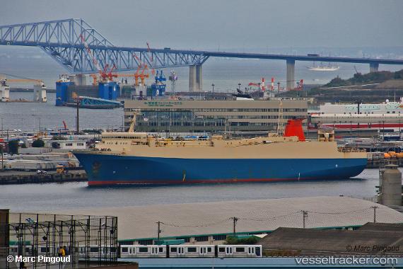
Vessel Akomar IMO: 9154048, MMSI: 312871000 Passenger Ro Ro Cargo Ship
UTC, 1.26995, 103.85448, course: -1, speed: 0
UTC, 1.27072, 103.85523, course: -1, speed: 0
2026-01-17 11:08:55 UTC, 1.27026, 103.85451, course: -1, speed: 0.1
Live AIS position:
UTC. Near Choa Chu Kang),
updated 2026-01-17 11:08:55 UTC.
Find the position of the vessel Akomar on the map. The latter are known coordinates and path.
marine traffic ship tracker show on live map
The current position of vessel Akomar is 1.27026 lat / 103.85451 lng. Updated: 2026-01-17 11:08:55 UTCDetails:
Last coordinates of the vessel:
UTC, 1.26981, 103.85456, course: -1, speed: 0.3UTC, 1.26995, 103.85448, course: -1, speed: 0
UTC, 1.27072, 103.85523, course: -1, speed: 0
2026-01-17 11:08:55 UTC, 1.27026, 103.85451, course: -1, speed: 0.1