 vesseltracker.com
Find the position of the vessel Wilson Onega on the map. The latter are known coordinates and path.
marine traffic ship tracker show on live map
The current position of vessel Wilson Onega is 58.7001 lat / -3.70752 lng. Updated: 2025-07-23 12:37:13 UTCCurrently sailing under the flag of Barbados
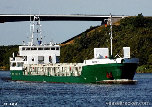
Wilson Onega built in 1997 year
Deadweight:
2516 tDetails:
Last coordinates of the vessel:
UTC, 58.6044, -2.90167, course: 326, speed: 6UTC, 58.7159, -3.16929, course: 267, speed: 10.7
UTC, 58.7069, -3.45227, course: 266, speed: 10.8
2025-07-23 12:37:13 UTC, 58.7001, -3.70752, course: 264, speed: 10.4