 vesseltracker.com
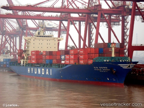
Vessel Highway IMO: 9158575, MMSI: 353848000 Container Ship
UTC, -4.86626, 109.45570, course: 299, speed: 13.3
UTC, -4.72868, 109.21262, course: 301, speed: 13.7
2026-01-17 11:39:52 UTC, -4.49383, 108.80720, course: 301, speed: 13.7
Live AIS position:
UTC. 113 nm SE of Belitung),
updated 2026-01-17 11:39:52 UTC.
Find the position of the vessel Highway on the map. The latter are known coordinates and path.
marine traffic ship tracker show on live map
The current position of vessel Highway is -4.49383 lat / 108.80720 lng. Updated: 2026-01-17 11:39:52 UTCDetails:
Last coordinates of the vessel:
UTC, -5.23030, 110.11264, course: 300, speed: 13.4UTC, -4.86626, 109.45570, course: 299, speed: 13.3
UTC, -4.72868, 109.21262, course: 301, speed: 13.7
2026-01-17 11:39:52 UTC, -4.49383, 108.80720, course: 301, speed: 13.7