 vesseltracker.com
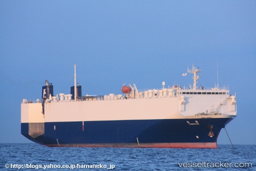
Vessel An Ji 11 IMO: 9159323, MMSI: 412379660 Vehicles Carrier
UTC, 33.35849, 122.96346, course: 0, speed: 12.5
UTC, 33.47733, 122.96231, course: 354, speed: 12
2026-01-18 17:46:47 UTC, 33.53792, 122.95442, course: 354, speed: 11.6
Live AIS position:
UTC. 98 nm NE of Yangkou Pt),
updated 2026-01-18 17:46:47 UTC.
Find the position of the vessel An Ji 11 on the map. The latter are known coordinates and path.
marine traffic ship tracker show on live map
The current position of vessel An Ji 11 is 33.53792 lat / 122.95442 lng. Updated: 2026-01-18 17:46:47 UTCDetails:
Last coordinates of the vessel:
UTC, 32.82999, 122.96780, course: 7, speed: 13.2UTC, 33.35849, 122.96346, course: 0, speed: 12.5
UTC, 33.47733, 122.96231, course: 354, speed: 12
2026-01-18 17:46:47 UTC, 33.53792, 122.95442, course: 354, speed: 11.6